

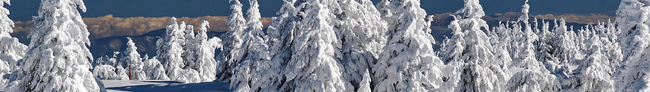
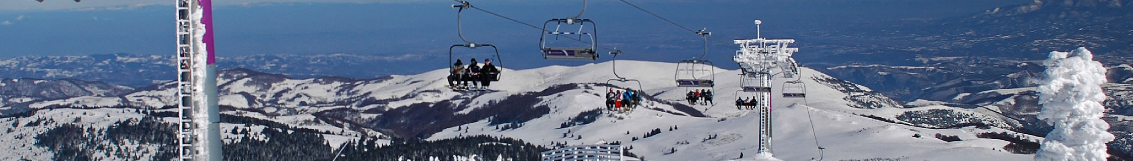


Geospatial analytics (GIS)
Spatial information is a key factor in tourism. Maps are usually the first choice when it comes to illustrating a wide range of information and thus the attractiveness of a destination to its visitors in the easiest and most user-friendly way possible. But also in the planning, realization and subsequent evaluation of projects and measures, the results of spatial analyses are a well-founded and indispensable basis for decision-making.
For this purpose, freely available datasets (e.g. from state and federal offices, NASA and the EU) can now be used more and more, reducing the costs of GIS analyses considerably in recent years. In addition to the gathering and acquisition of the required data, the range of services offered by Montenius Consult also includes the processing, analysis and presentation of geodata to address a wide variety of questions:
Gather/Acquire:
- Acquisition and, if necessary, purchase of existing data (including aerial and satellite imagery, digital elevation and terrain models, OSM data)
- Acquisition of spatial data on site using GPS technology
- Geocoding or localization of (address) databases
Process:
- Intersection or merging of (spatial) information
- Georeferencing (e.g. of images and analog maps)
- Conversion of file formats, data types (vector & raster), coordinate systems and projections
Analyze:
- Location, market and competition analyses (e.g. accessibility, competition density)
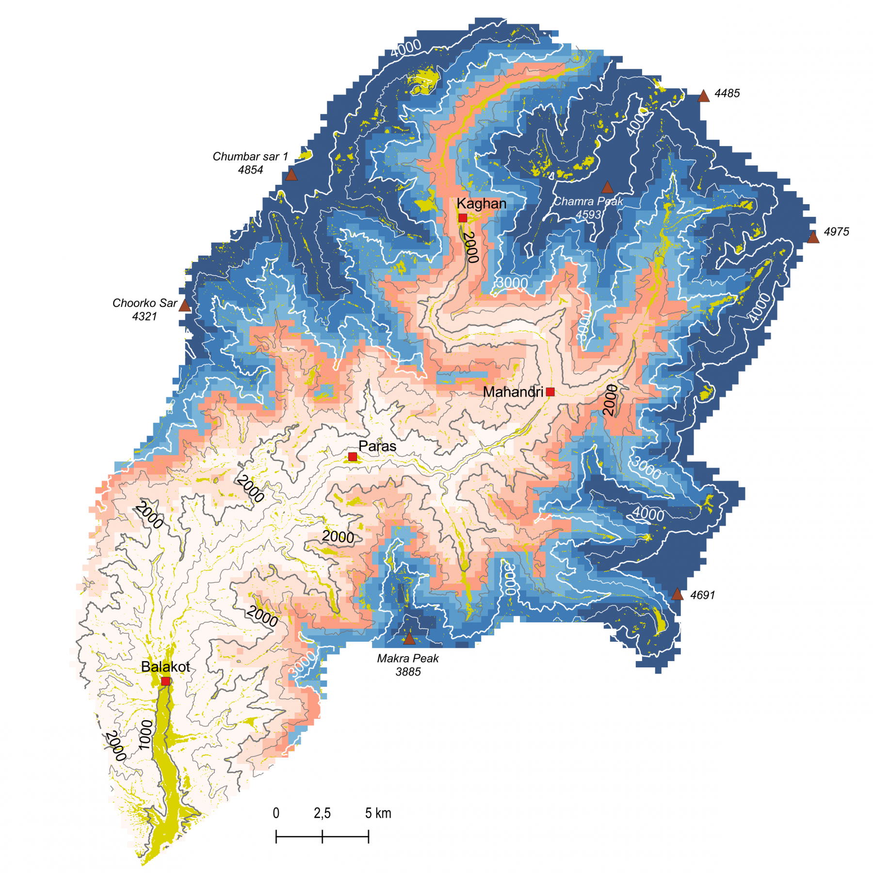
- Raster analyses and interpolation (altitude, aspect, slope)
- Catchment area calculation or network analysis (population, households, purchasing power + other demographic characteristics in the vicinity of xx minutes, determination of skimming rates)
- Time series analyses (e.g. snow cover duration based on satellite data)
- Viewshed analyses (e.g. for observation towers and platforms)
- and numerous other spatial analyses
Illustrate/Present:
- printable, high-resolution digital and analog maps in user-defined scale and detail
- Visualization in 2D and 3D
- animated representation of temporal change
- Terrain or elevation profiles
The list above is only an excerpt of the services Montenius Consult can offer in dealing with geodata. Contact us to discuss your project and to perfectly match the use of geodata and our services to it.